Photo Library
Map: Chart of Cape Jervis, 1831
Hover or tap the map below to zoom in
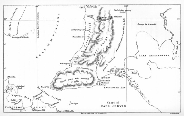
Chart of Cape Jervis / J. Arrowsmith
From 'Two expeditions into the interior of southern Australia, during the years 1828, 1829, 1830 and 1831.'. Public Library of South Australia, 1963.
Map of the Cape Jervis region illustrating the discoveries of Captain Collet Barker in 1831
View more information at State Library of South Australia